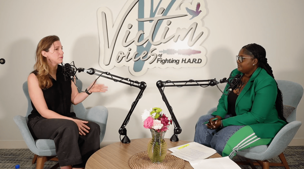
Talking Headways Podcast: Measuring Walkability on the Wasatch Front

Muriel Xochimitl, Jon Larsen, and Callie New of the Wasatch Front Regional Council in Utah join the podcast this week to talk about their new interactive story map tool measuring urban street design.
The Wasatch Front Regional Council is the planning agency for the Salt Lake City region. The data-rich map incorporates the walkability research of Reid Ewing and Otto Clement at the University of Utah. My three guests hope the map tool will become a standard way to assess the region’s streets.
Listen in and hear how they developed the walkability tool, why they chose the streets they did, all the intern hours that went into collecting data, and their aspirations for how people will use it.
Read More:

Support Streetsblog
More from Streetsblog USA
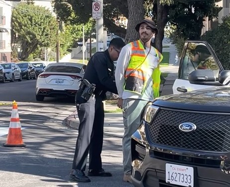
Motorist Careens onto North Beach Sidewalk, Killing Pedestrian
Driver kills pedestrian at another location where a safety project festered
The post Motorist Careens onto North Beach Sidewalk, Killing Pedestrian appeared first on Streetsblog San Francisco.


Comments Are Temporarily Disabled
Streetsblog is in the process of migrating our commenting system. During this transition, commenting is temporarily unavailable.
Once the migration is complete, you will be able to log back in and will have full access to your comment history. We appreciate your patience and look forward to having you back in the conversation soon.